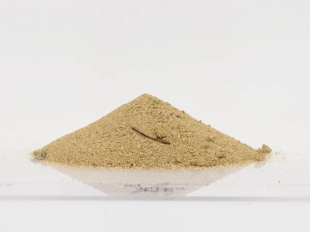
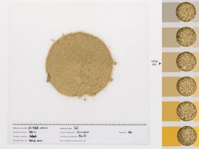
Pui O sand
Soil / Soil based (organic/mineral)
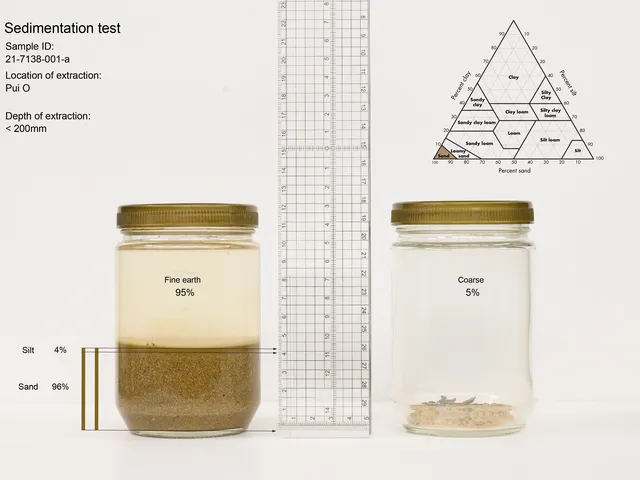
21-7138-001-a
TAL-L
1 Nov 2021 (Extracted)
Intact
Pui O is a bay formed by the Chimawan Peninsula and the lower slope of Sunset Peak. A major river running eastward from the valley joins other small rivers at Pui O to form a wetland estuary. Villagers have enclosed this wetland and turned it into a paddy field. This is denoted by the name 鹹田 (鹹田; 'Salty paddy field'). At the shore, a sandspit is formed by the interaction of the Southern Ocean currents with the river. The Pui O River is listed as a "Ecologically Important Streams" by the AFCD. However, the river has been polluted by illegal dumping activities recently.
Pui O Camp Site, Lantau Island, Hong Kong
22.239286, 113.978941
Loose
<20 cm
< 35°
Grassland
Solid
Silt, sand and gravel
10YR 6/3
Organic Matter: 0.0 %
Coarse: 5.0 %
Sand: 96.0 %
Silt: 4.0 %
Clay: 0.0 %